When we got up this morning the sky was already dominated by high fog. Same procedure as yesterday. 😒 Still, we got up and had an early breakfast at 6.45 a.m. All the bikers were still sleeping. 😜
When we told the innkeeper about our destination her reaction was: “Why don’t you take the bus?” 😂 Ah well, no non-hiker will ever understand that one simply does not take the bus. Or the car. Or the cable car. Or… I think you get it. 😉
The first part of the way was to get to the starting point of today’s stage since our inn was a little off the trail. Therefore we walked about 2km along the street which wasn’t so bad because there was only one car driving by. It was 7.20 a.m. and everything was quiet and still sleeping in Innerkrems. The air was crisp and smelled of forest and damp grass.
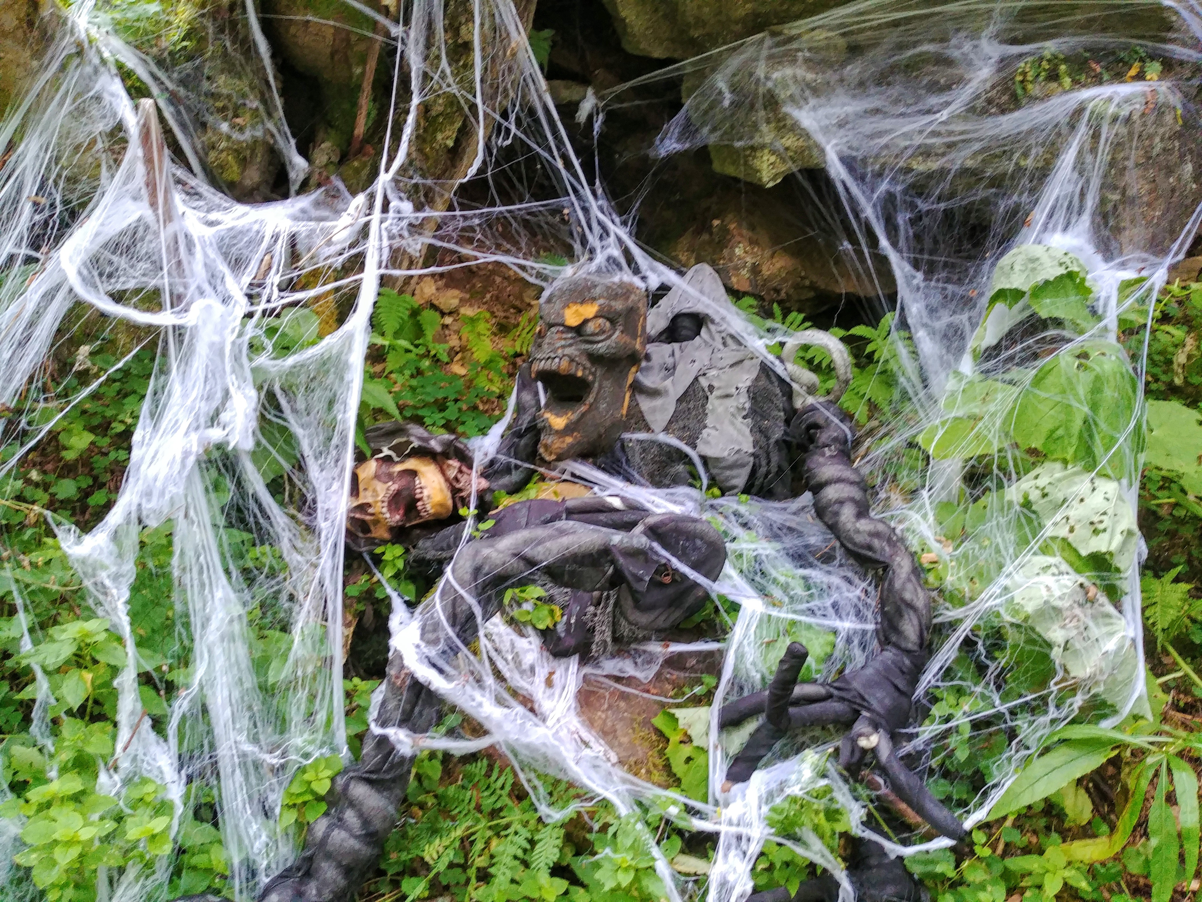
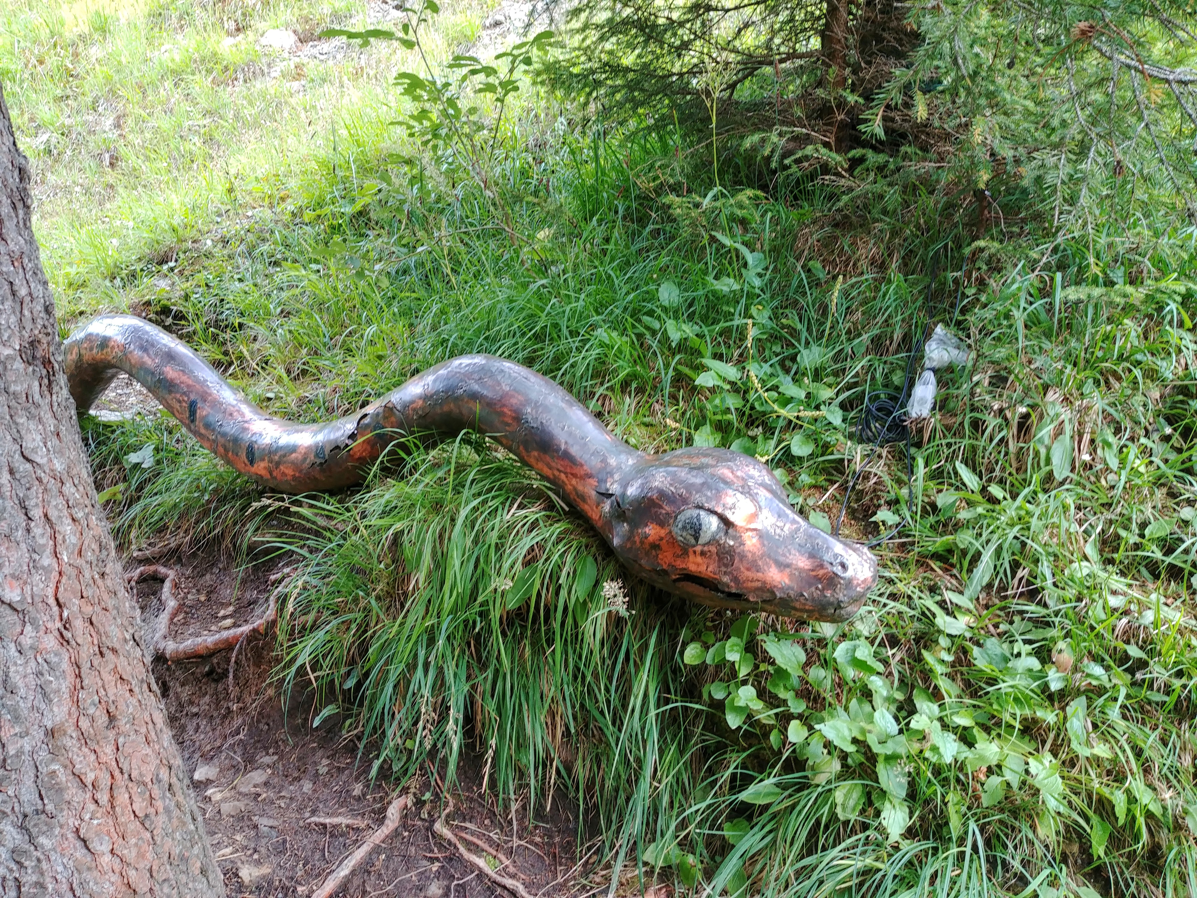
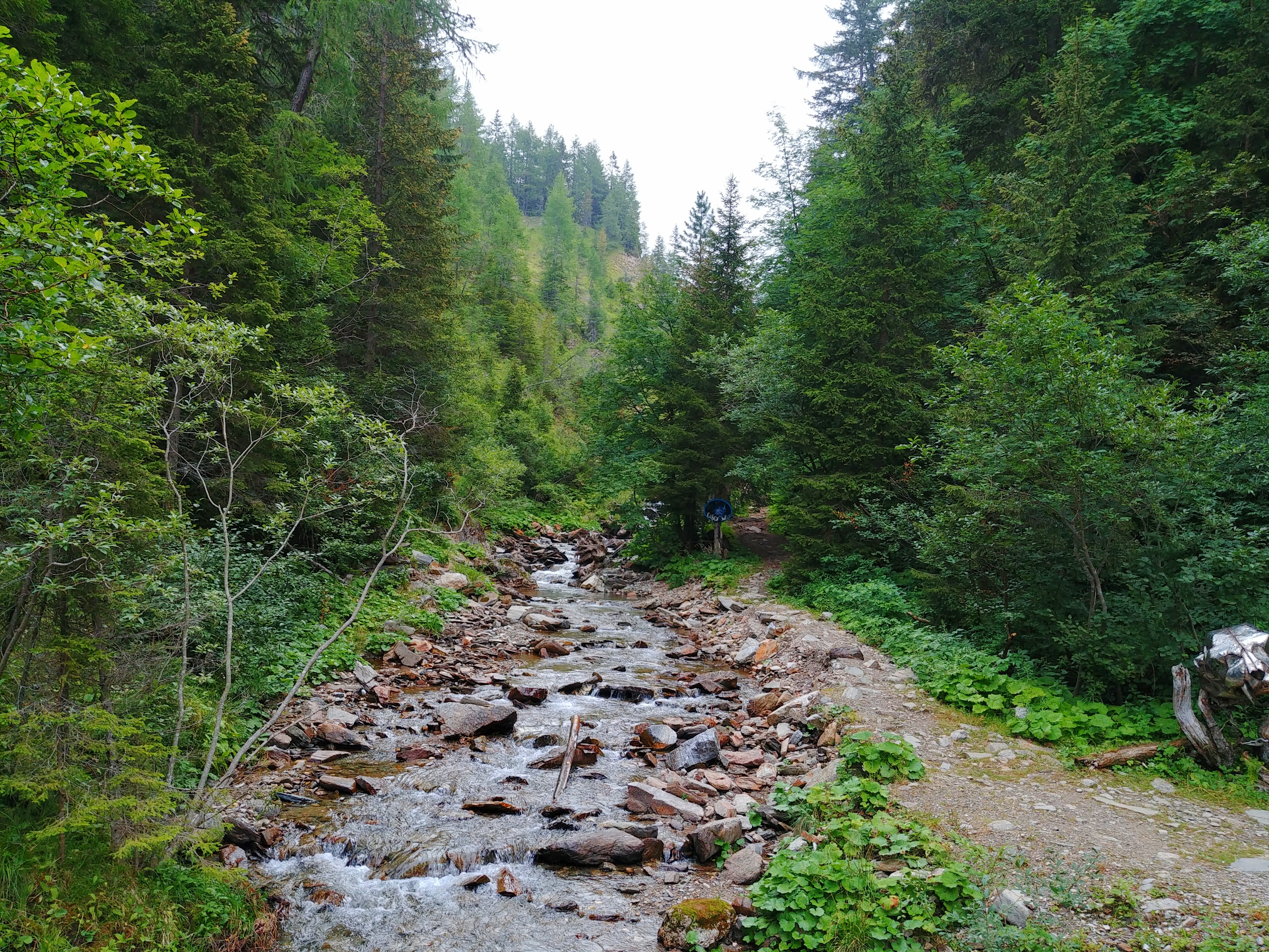
Then we arrived at the starting point which led at first along a gorge which was also transformed into a kids adventure track.
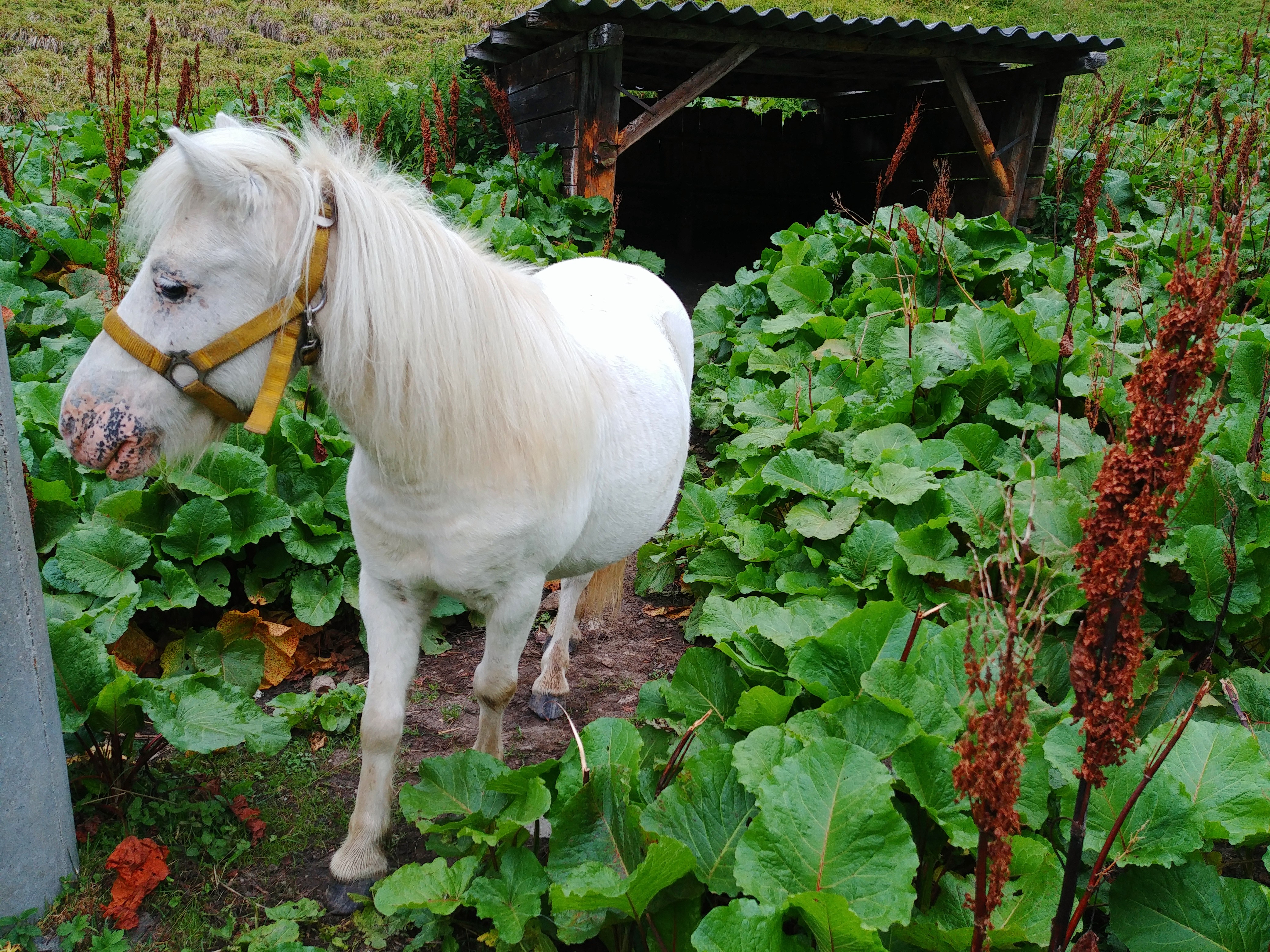
We met a cute pony which quickly lost interest when we had nothing to give away.
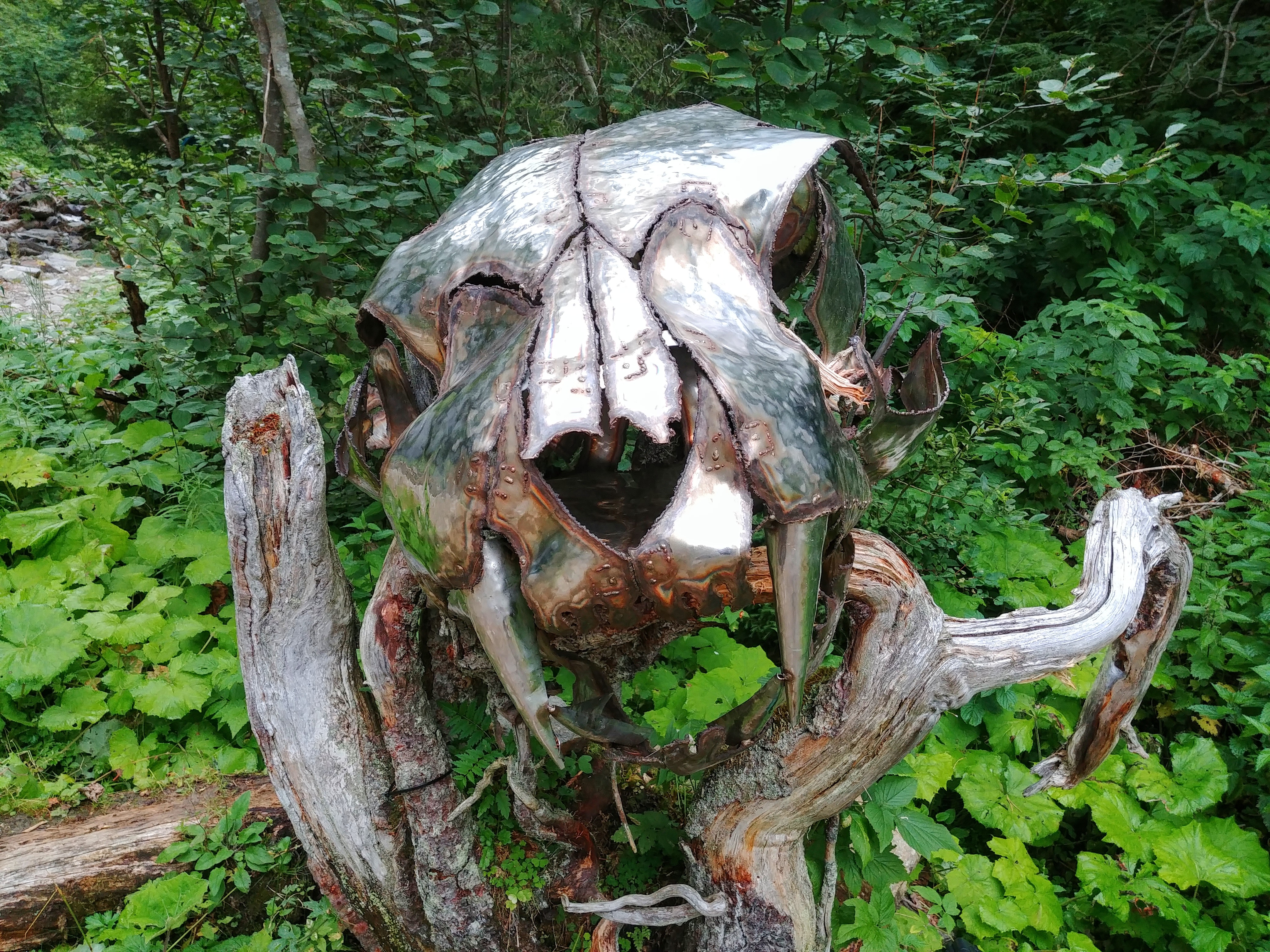
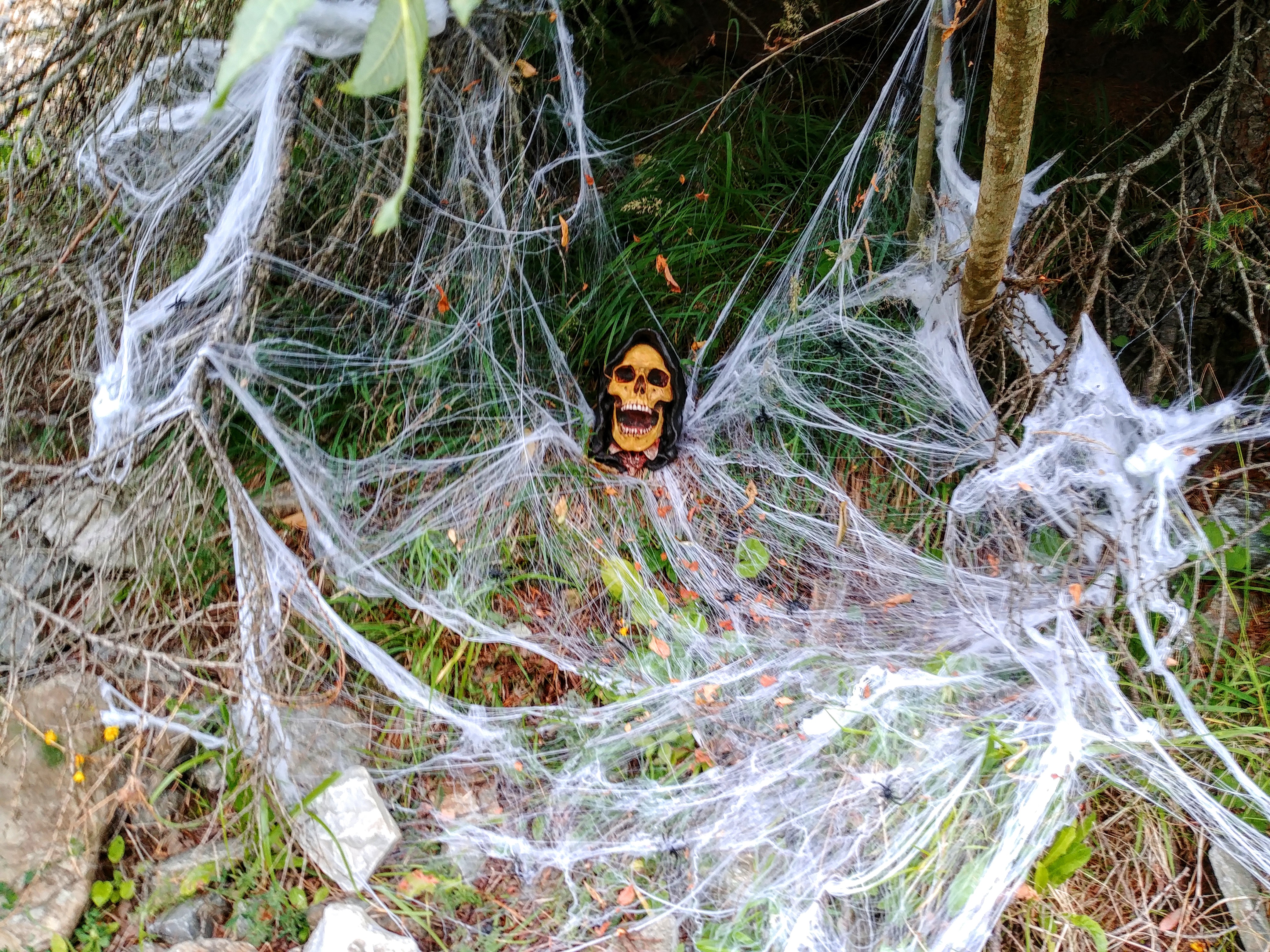
Further on we met strange creatures:
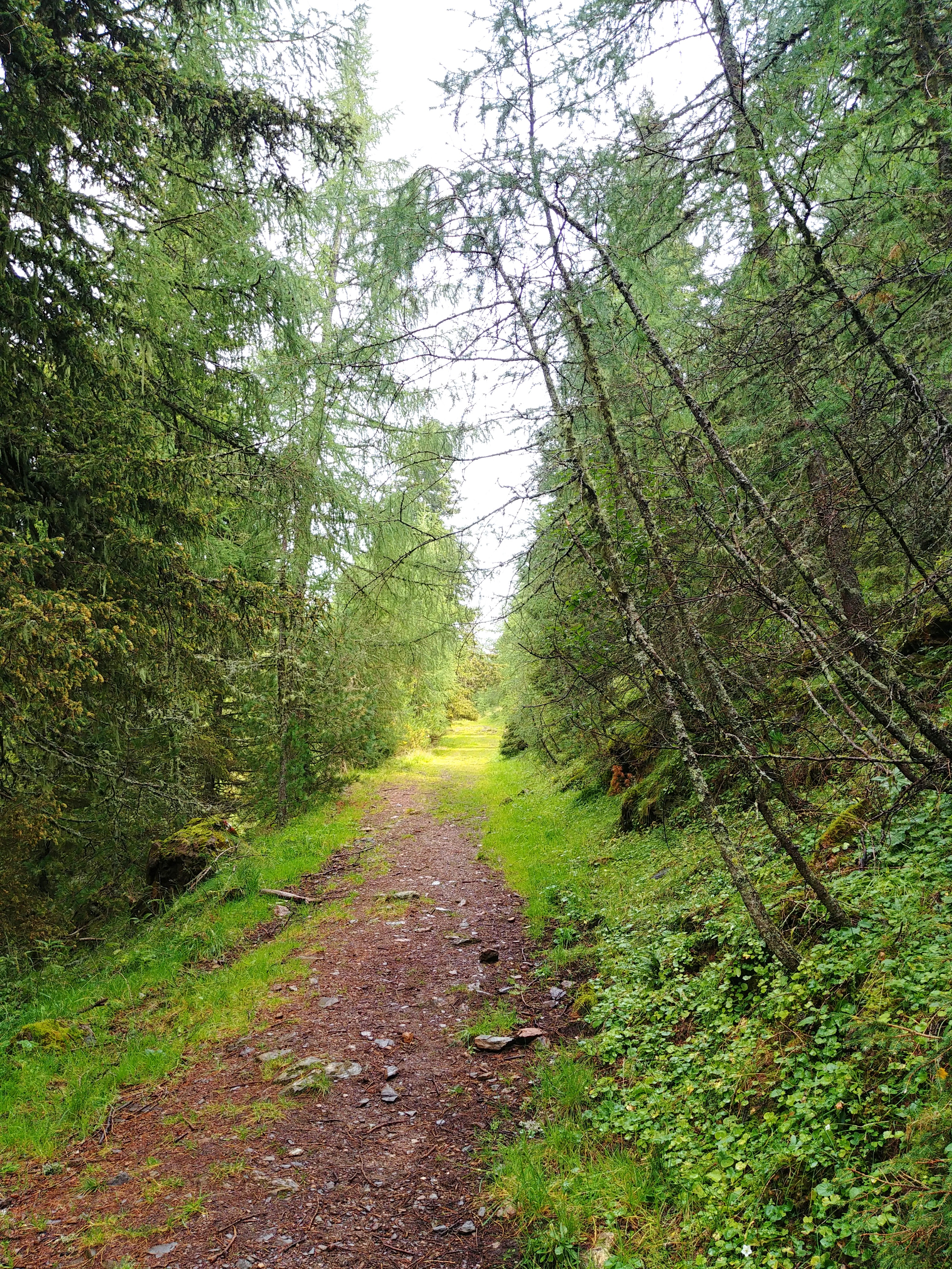
The path was very pretty and easy to hike, along the gorge, crossing it now and then and again we were totally alone.
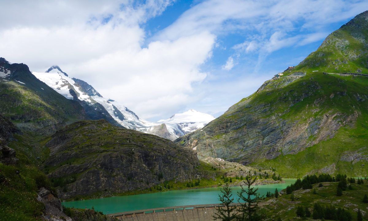
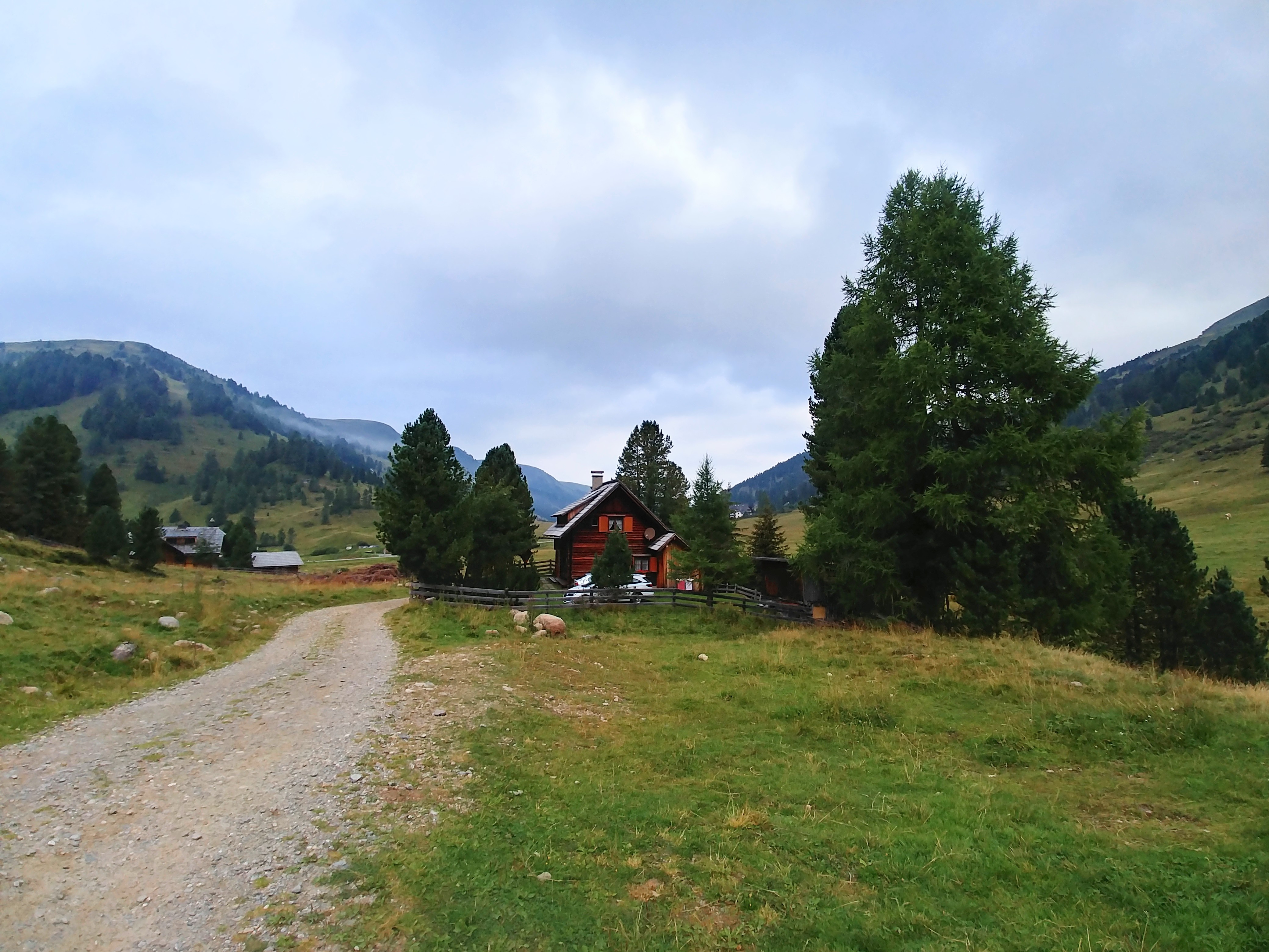
After another 2km we arrived at the Dr. Josef Mehrl Hütte, another hut from the Austrian Alpine Association. It was beautifully located on an alpine pasture and we regretted not having stayed here instead of Innerkrems. What a pity that the founder of the Nockberge Trail didn’t even include this as an option!
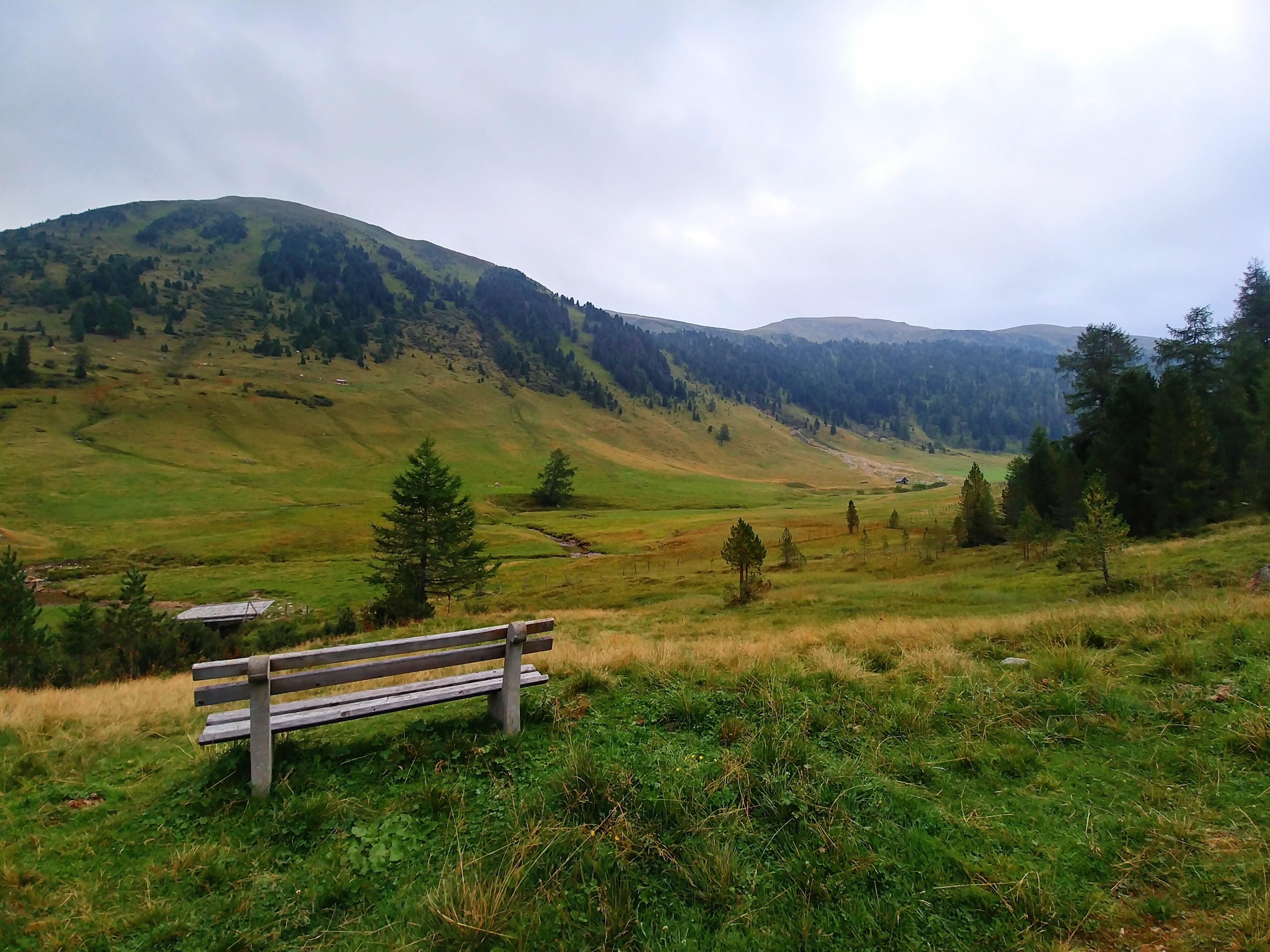
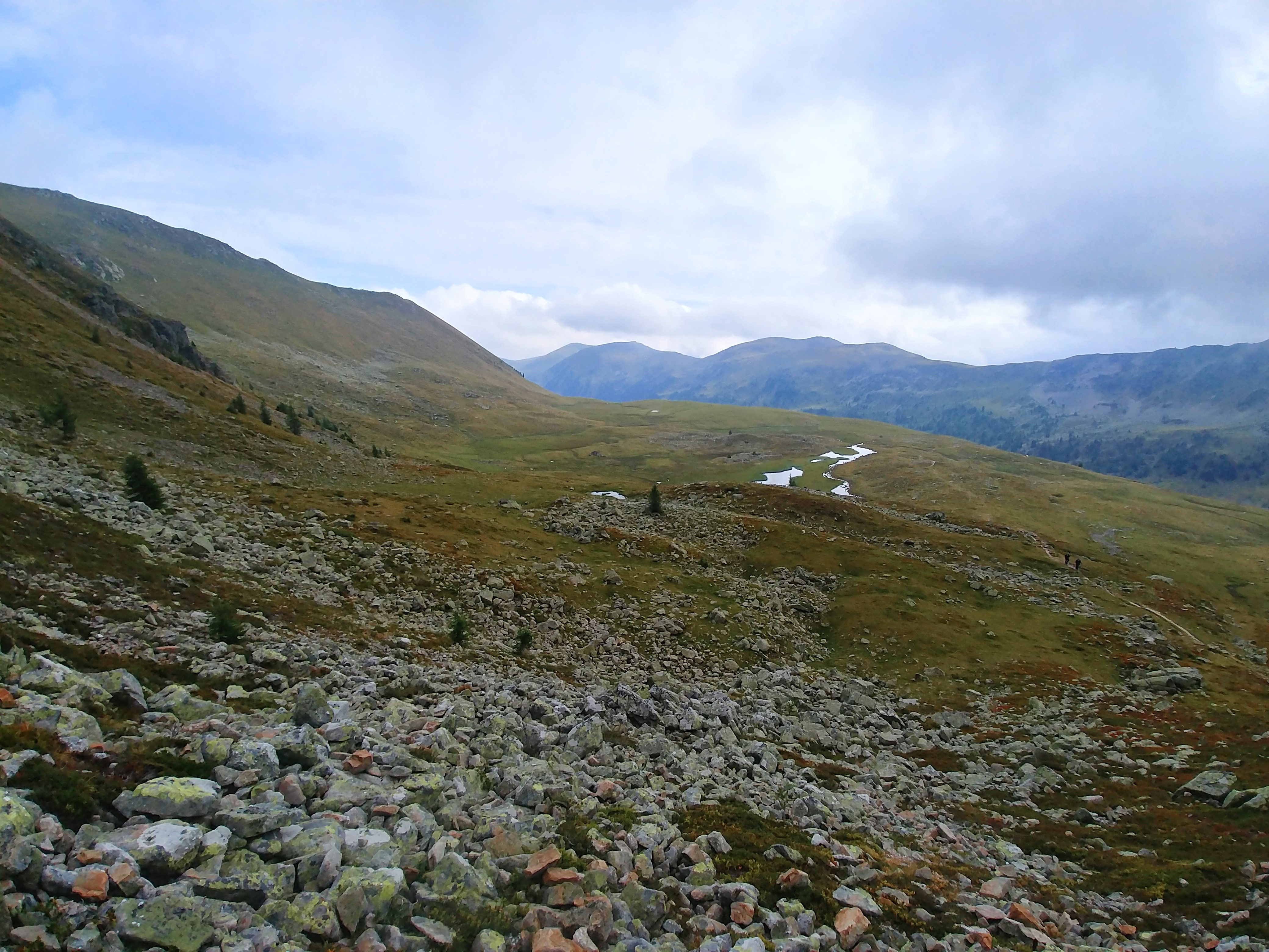
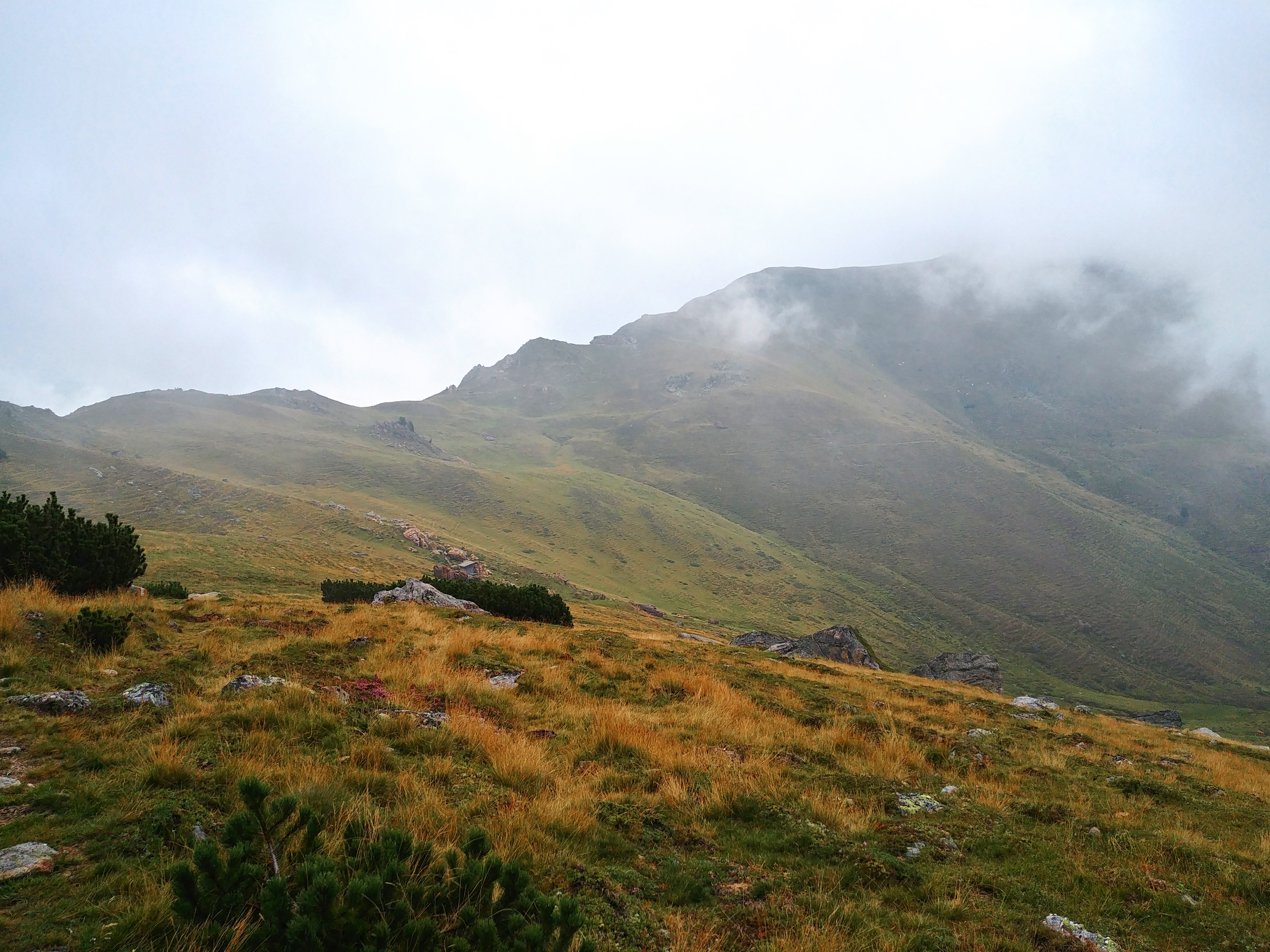
The path that led to the Königstuhl, our highlight for today, was at first along a comfortable, nearly flat hiking path through the pasture with the Nockberge on both sides. What an awesome scenery!
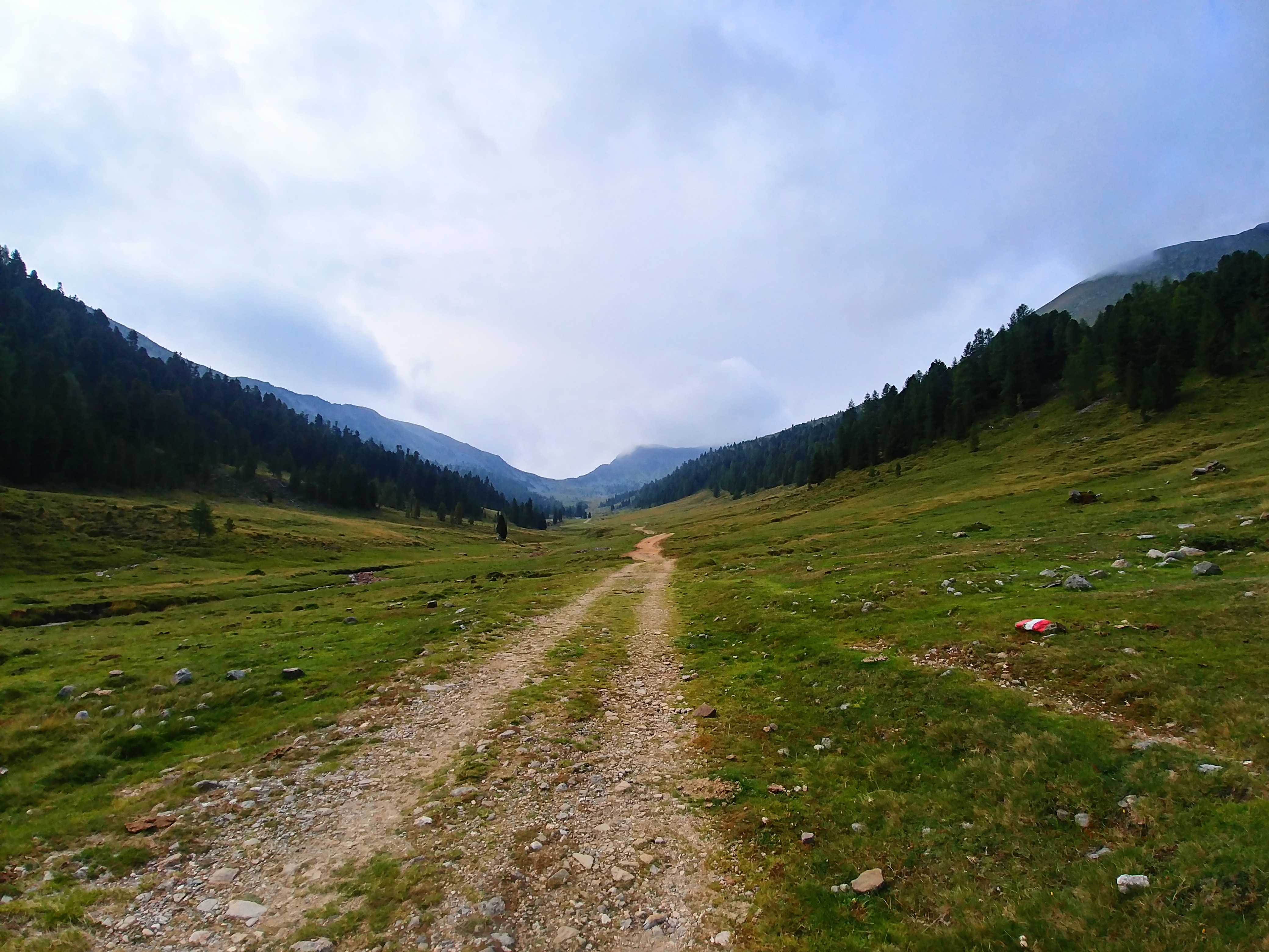
Then after 3km through the valley we finally started with the ascent which was partly rather steep but not difficult or unpleasant to hike.
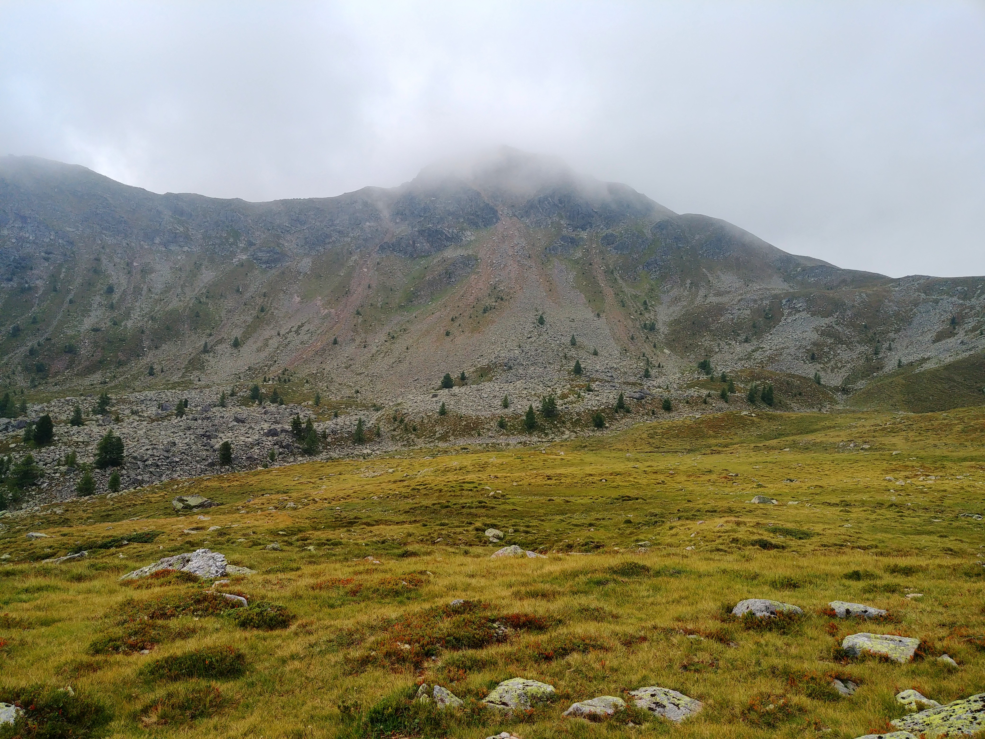
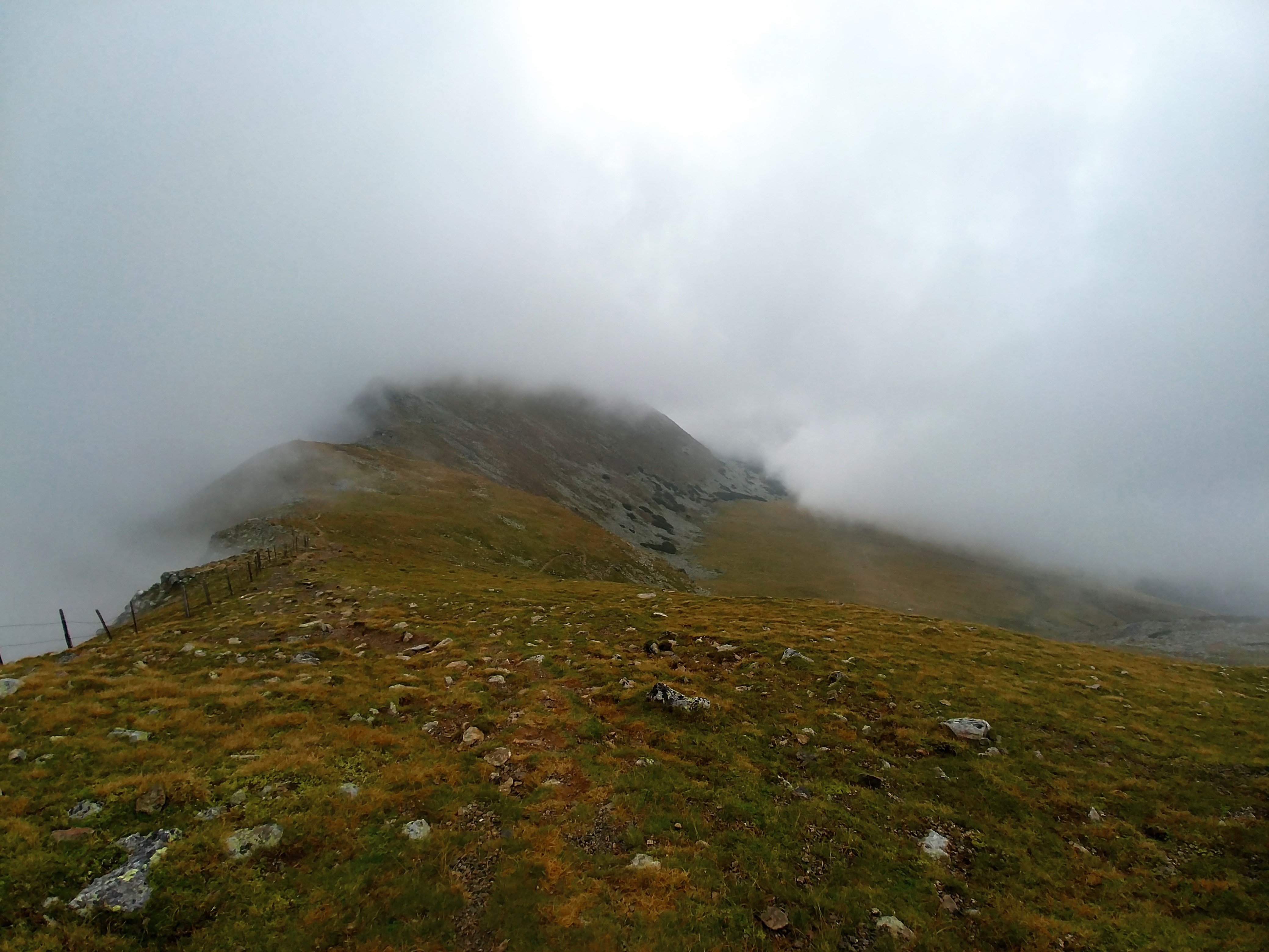
Then the fog lifted for a few minutes and we could see the Königstuhl for the first time – it’s the peak in the background:
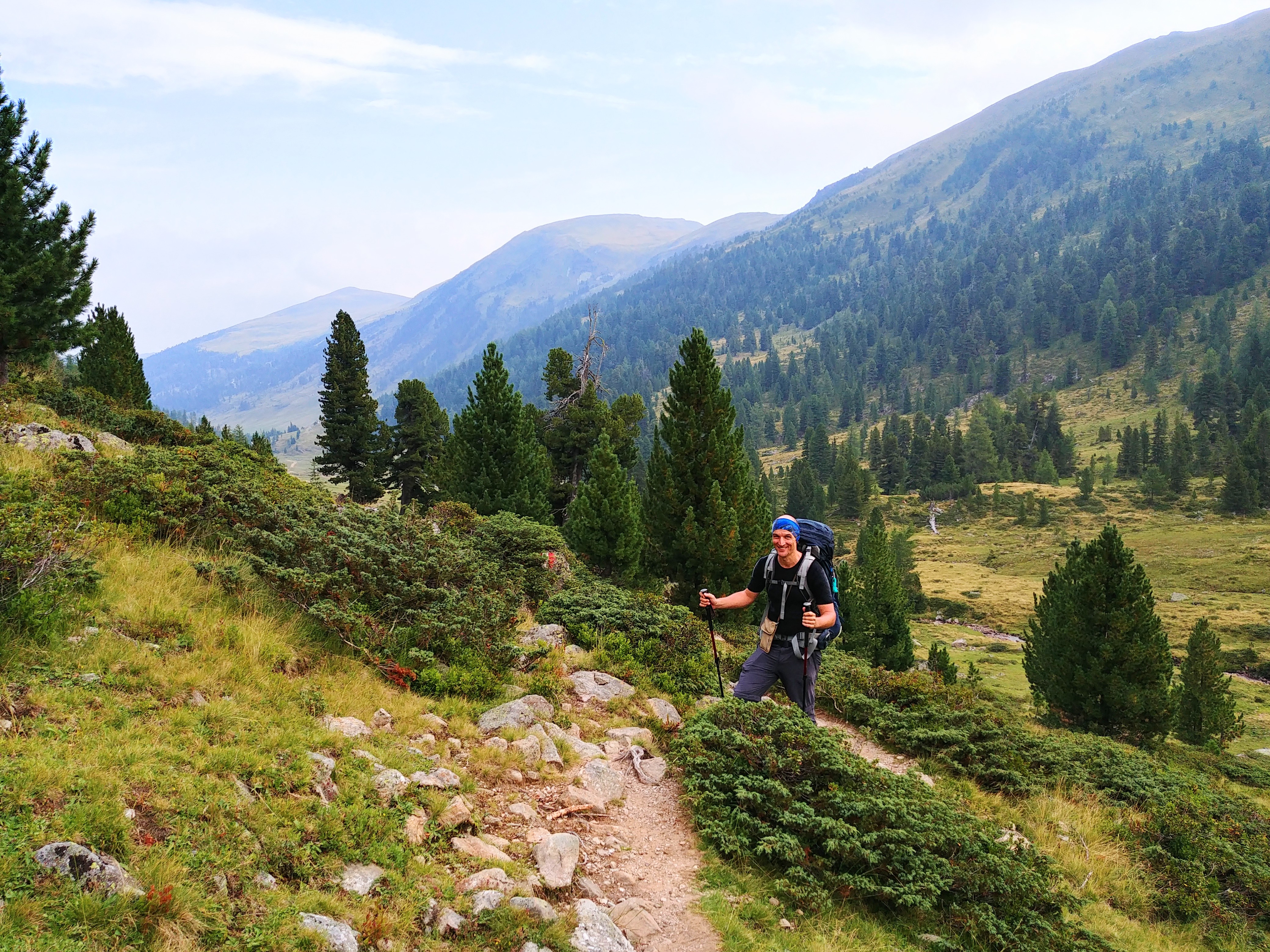
We only met two other people and overtook them very easily. It was such a pleasure to hike it that we reached the top much quicker than expected.
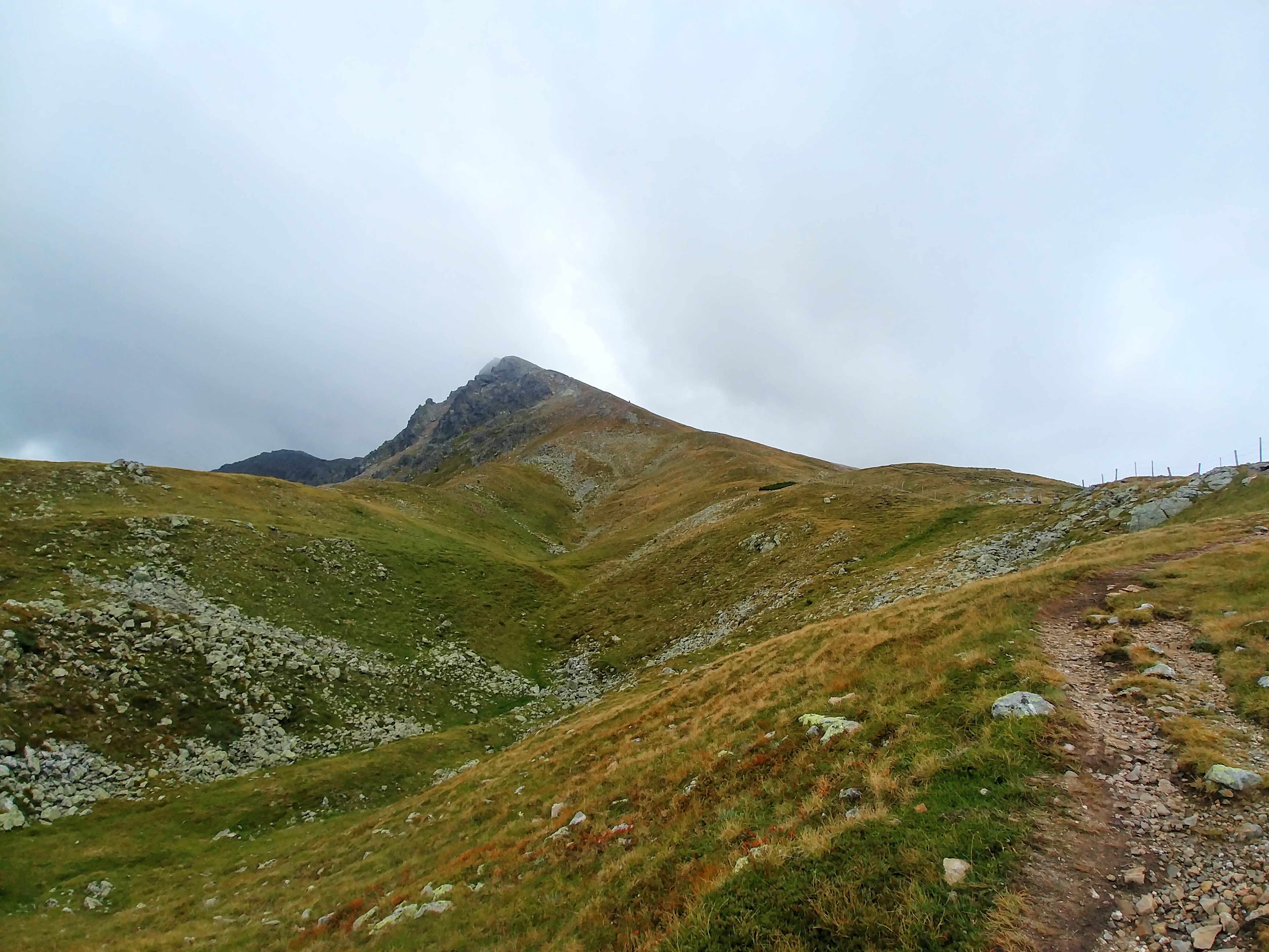
This one was a little below the summit where we still had a view:
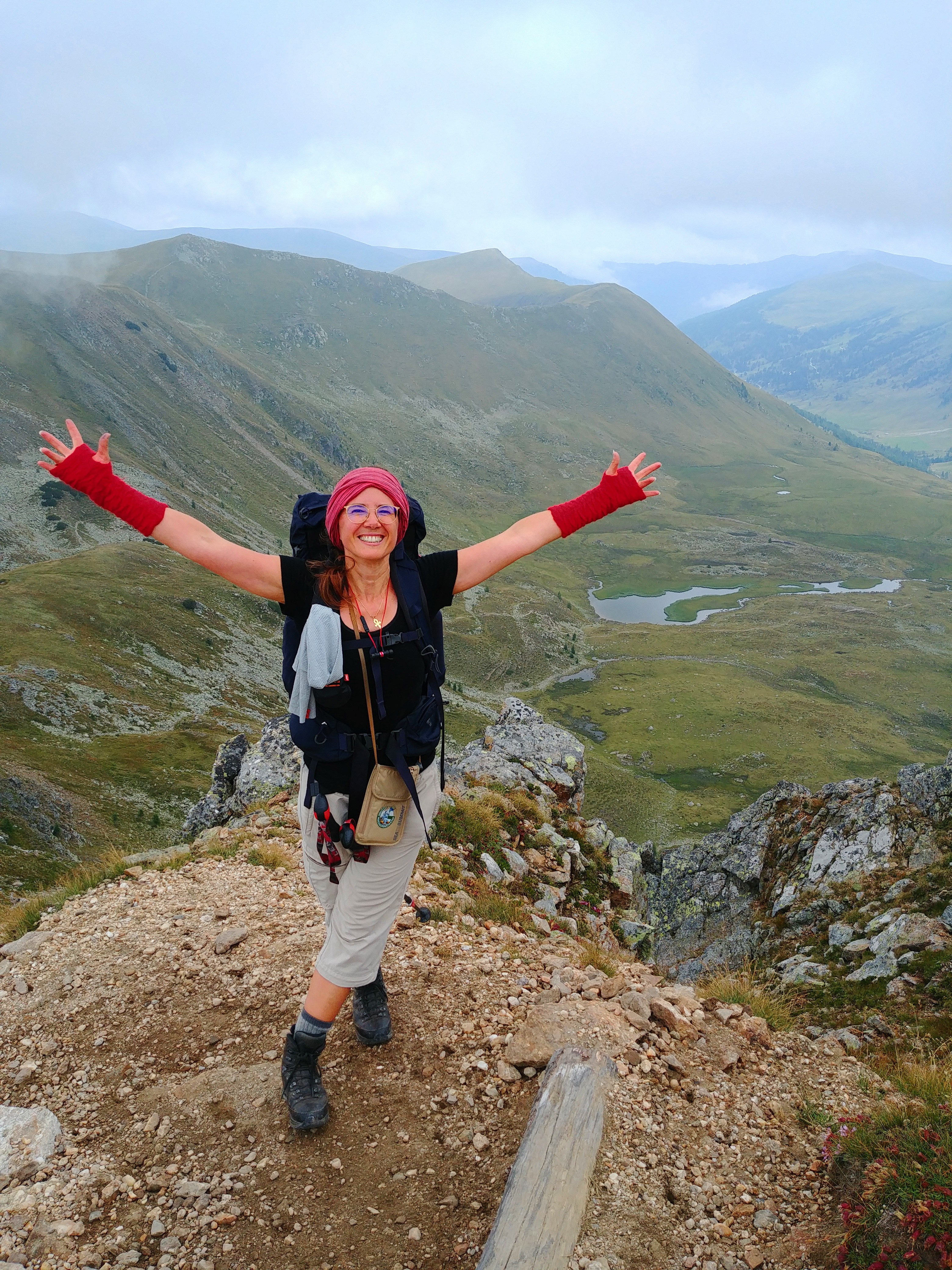
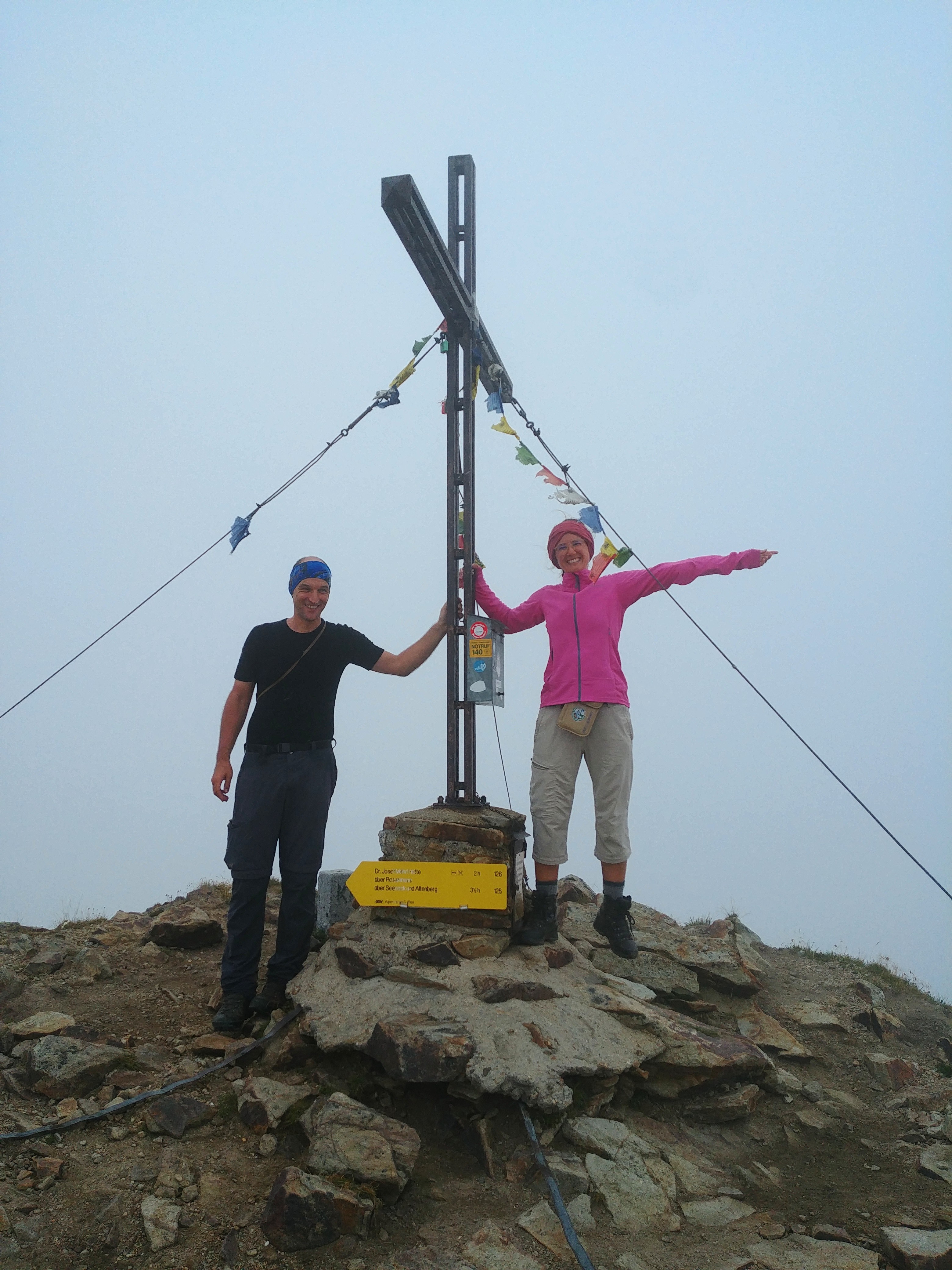
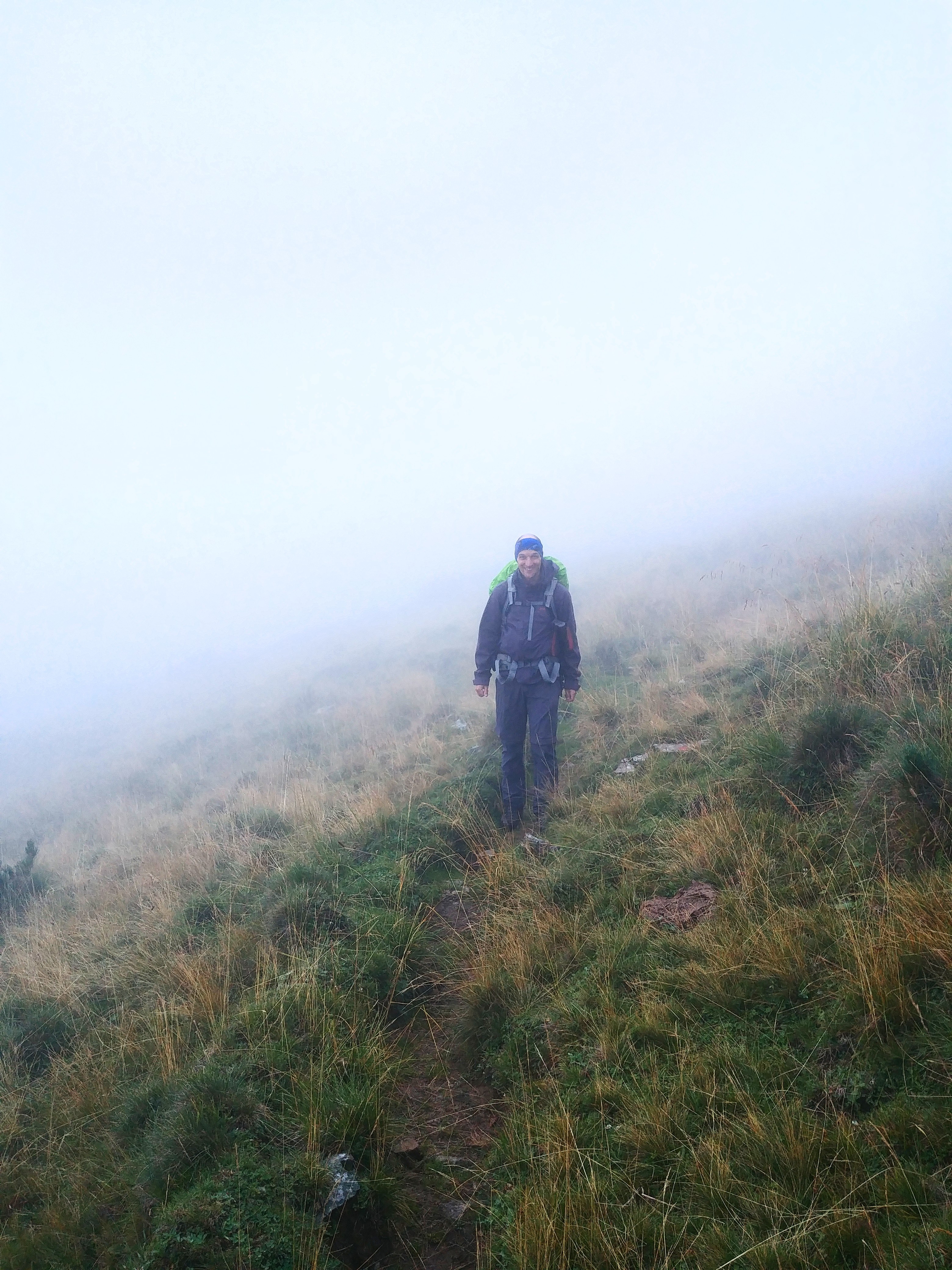
At the top there were already two other guys that came up from the Mehrl Hütte and wondered how we could get up here so quickly with still having the breath for talking. 😂
So we had the chance to get a picture of us together:
Ah… yes… I forgot to mention that while hiking the last few meters the fog drifted in and there was no view whatsoever. No view like in: why did we came up all the way to stare at a lot of white nothingness???
Here could have been some amazing views on various summits of mountains in Carinthia, Styria and Salzburg:
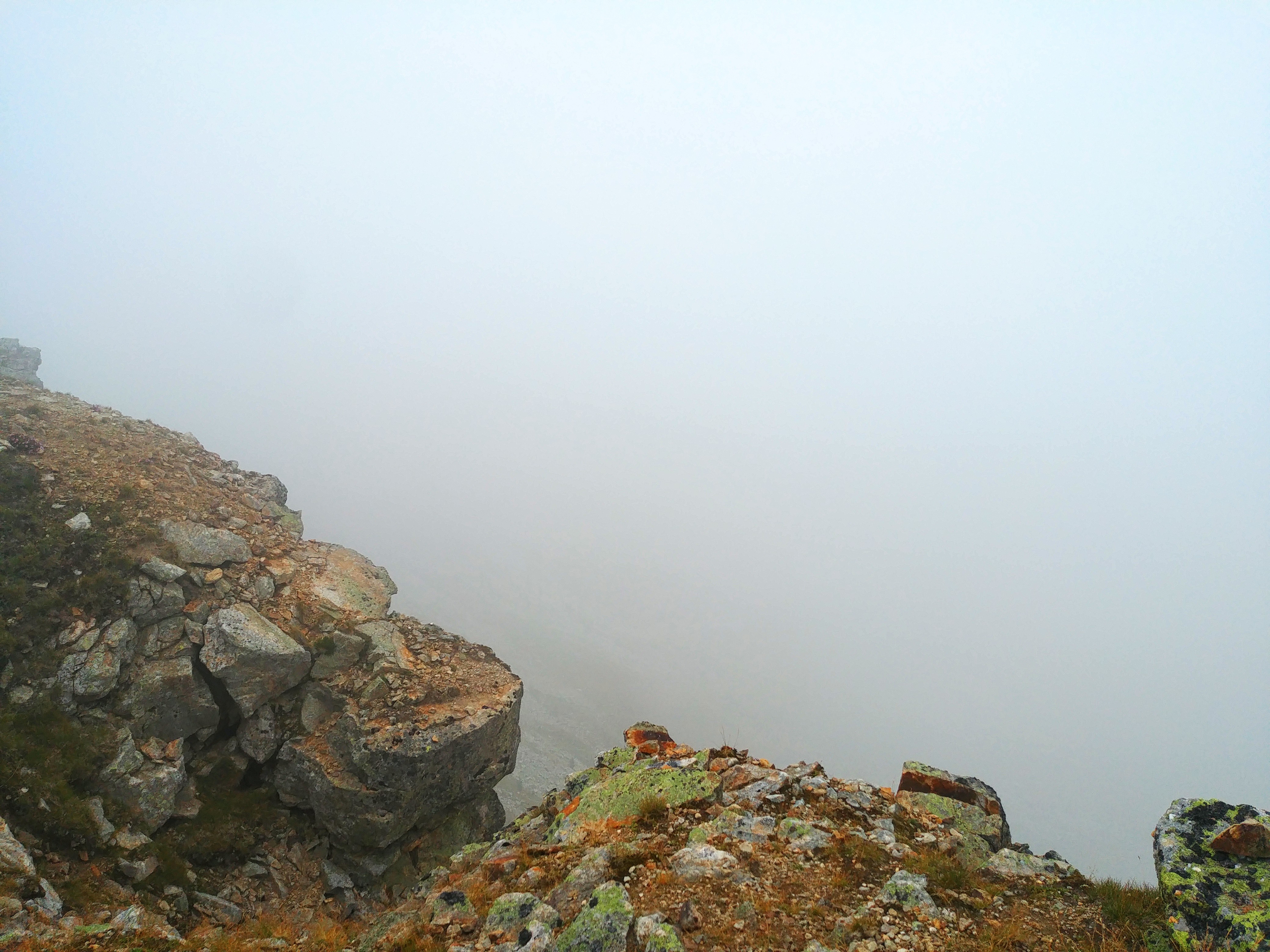
Amazing, right?!
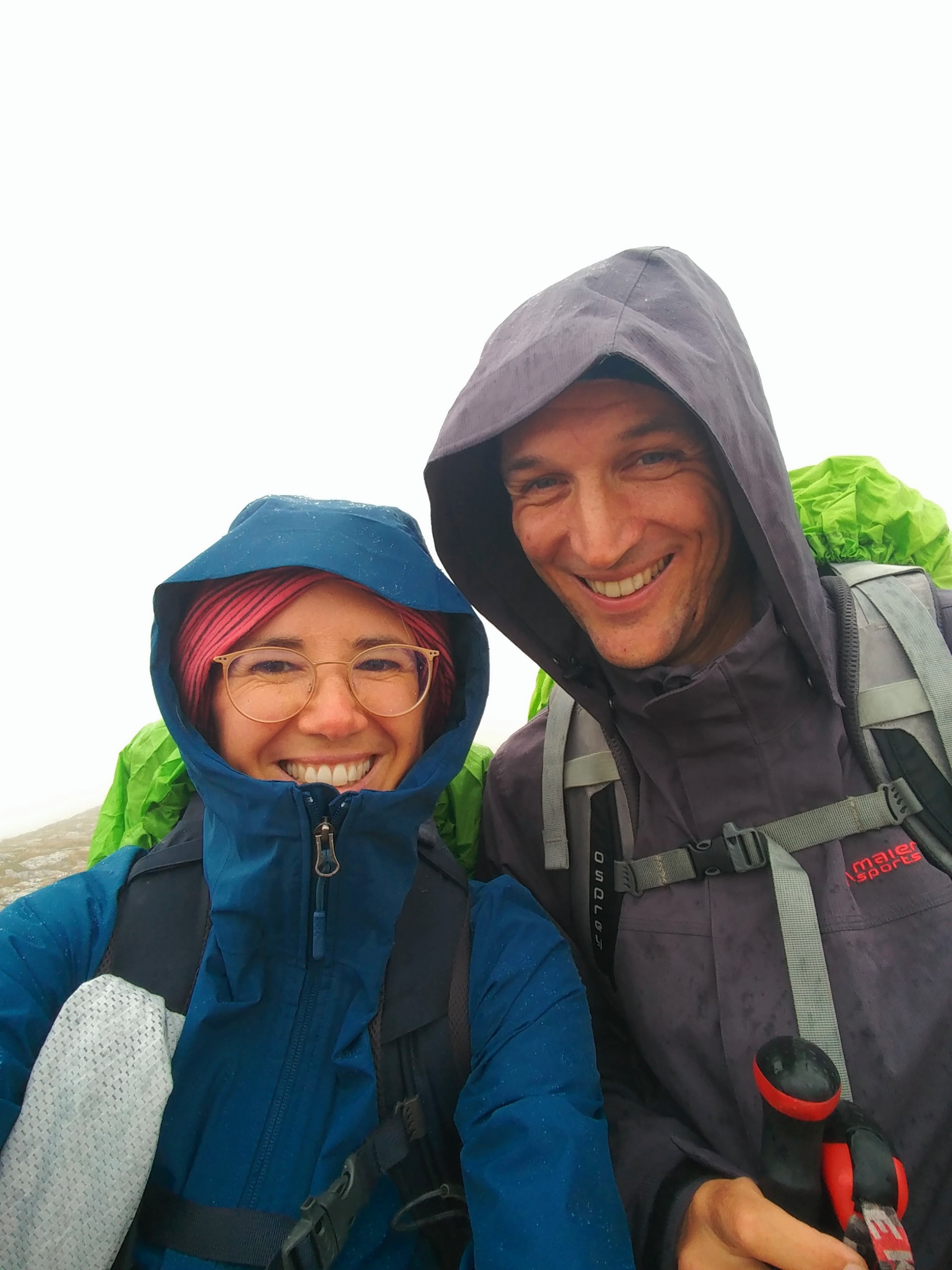
And then it began to rain a little and a cold wind started. So we didn’t stop any further for a break, dressed up in our rain jacket and headed down in the other direction.
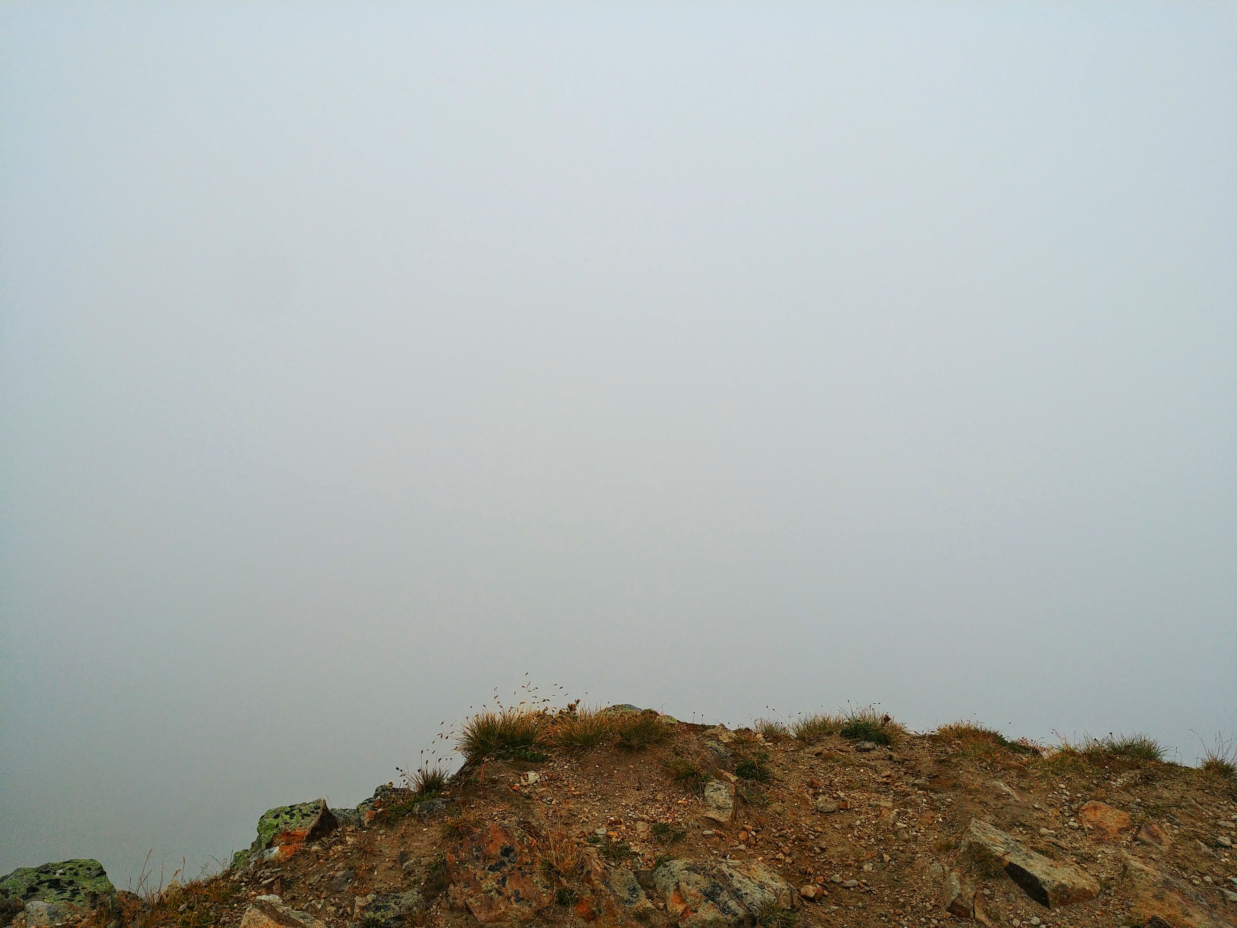
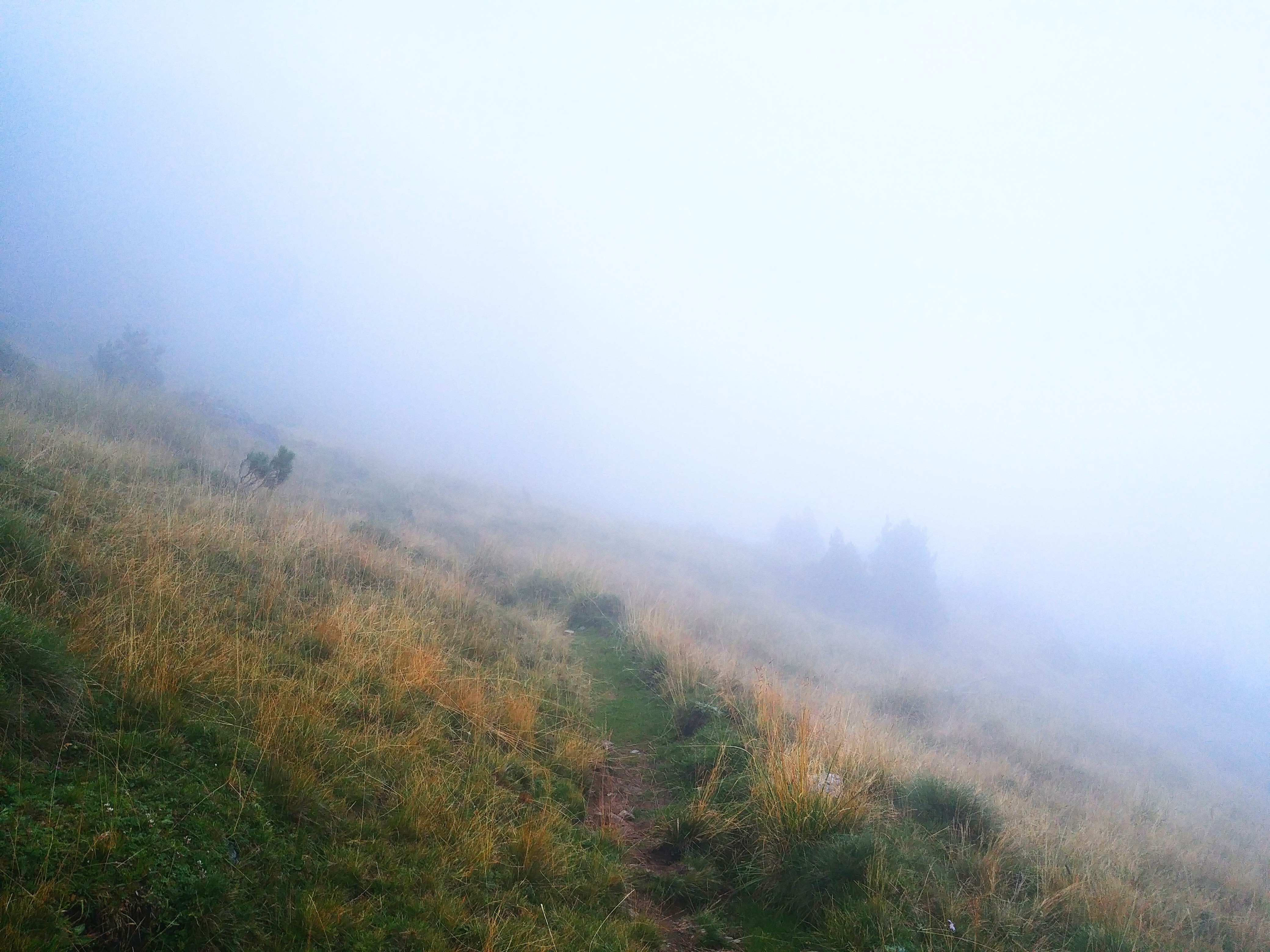
Right now the fog got even denser and we had a hard time to look for the trail markings:
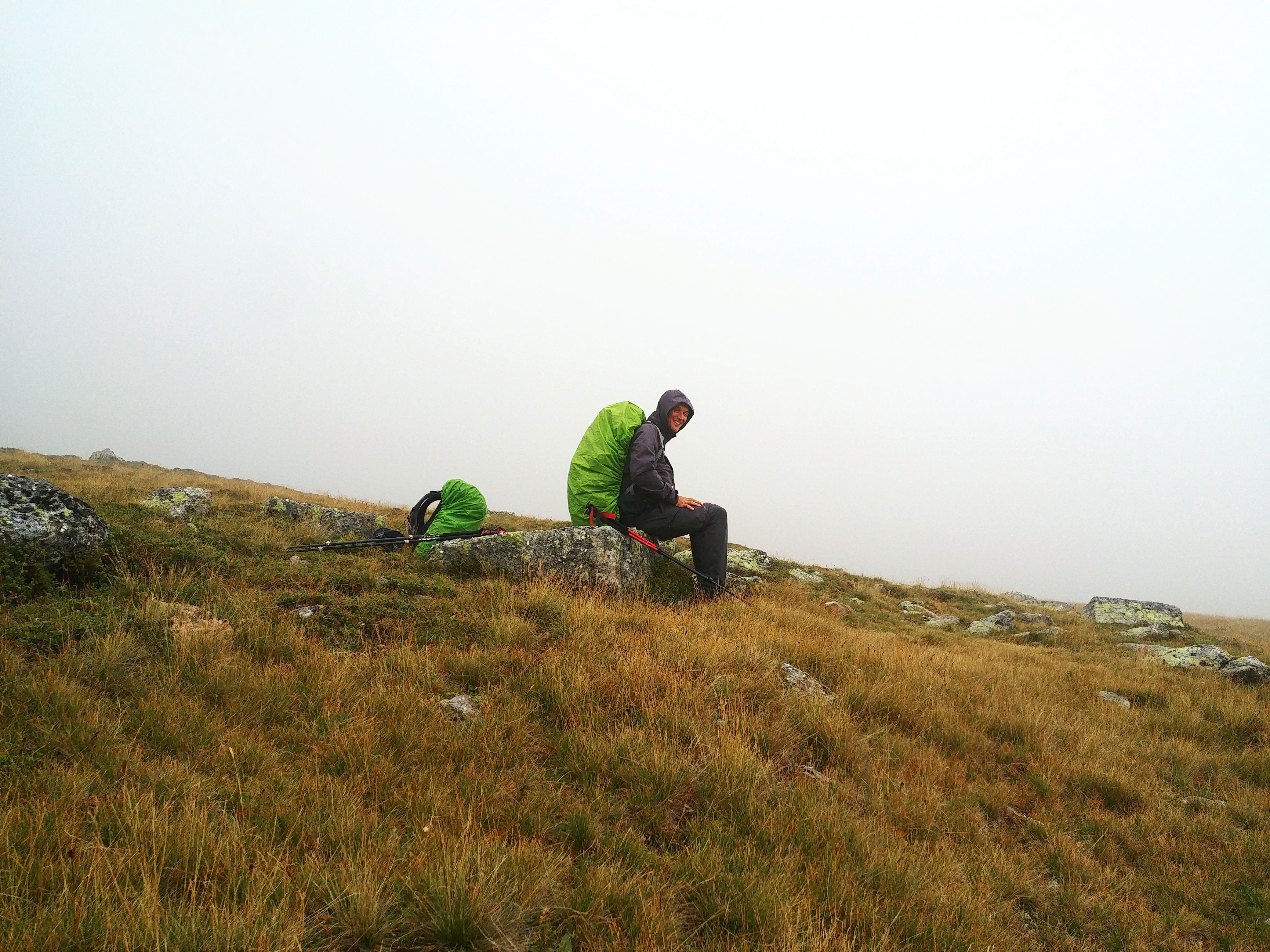
A little while down the rain nearly stopped and we weren’t so exposed to the wind anymore. So we stopped for some tea and food. Nonetheless, it was foggy:
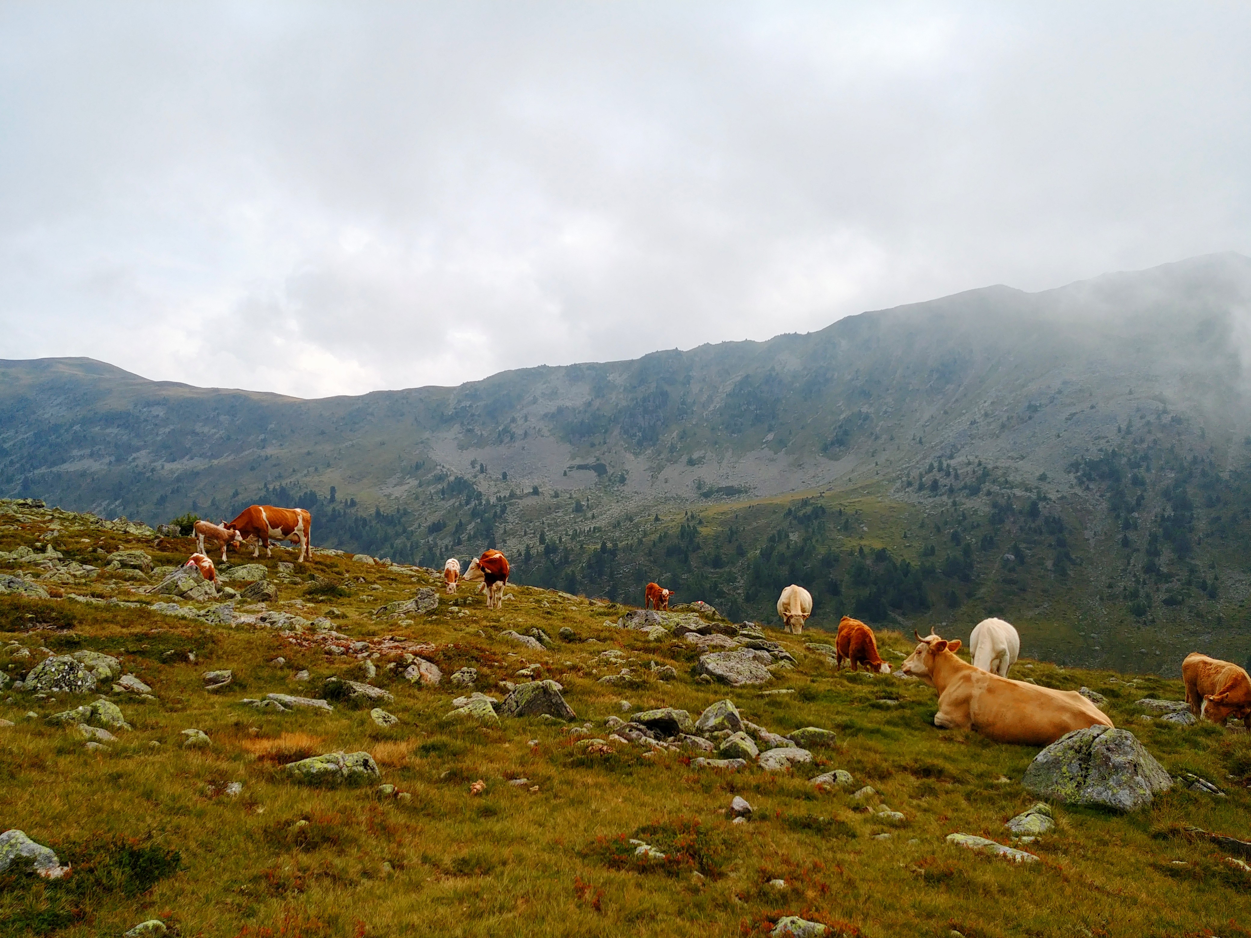
Along the way we stumbled over some cow herds that we sometimes even saw just when they were right in front of us. That was really spooky!
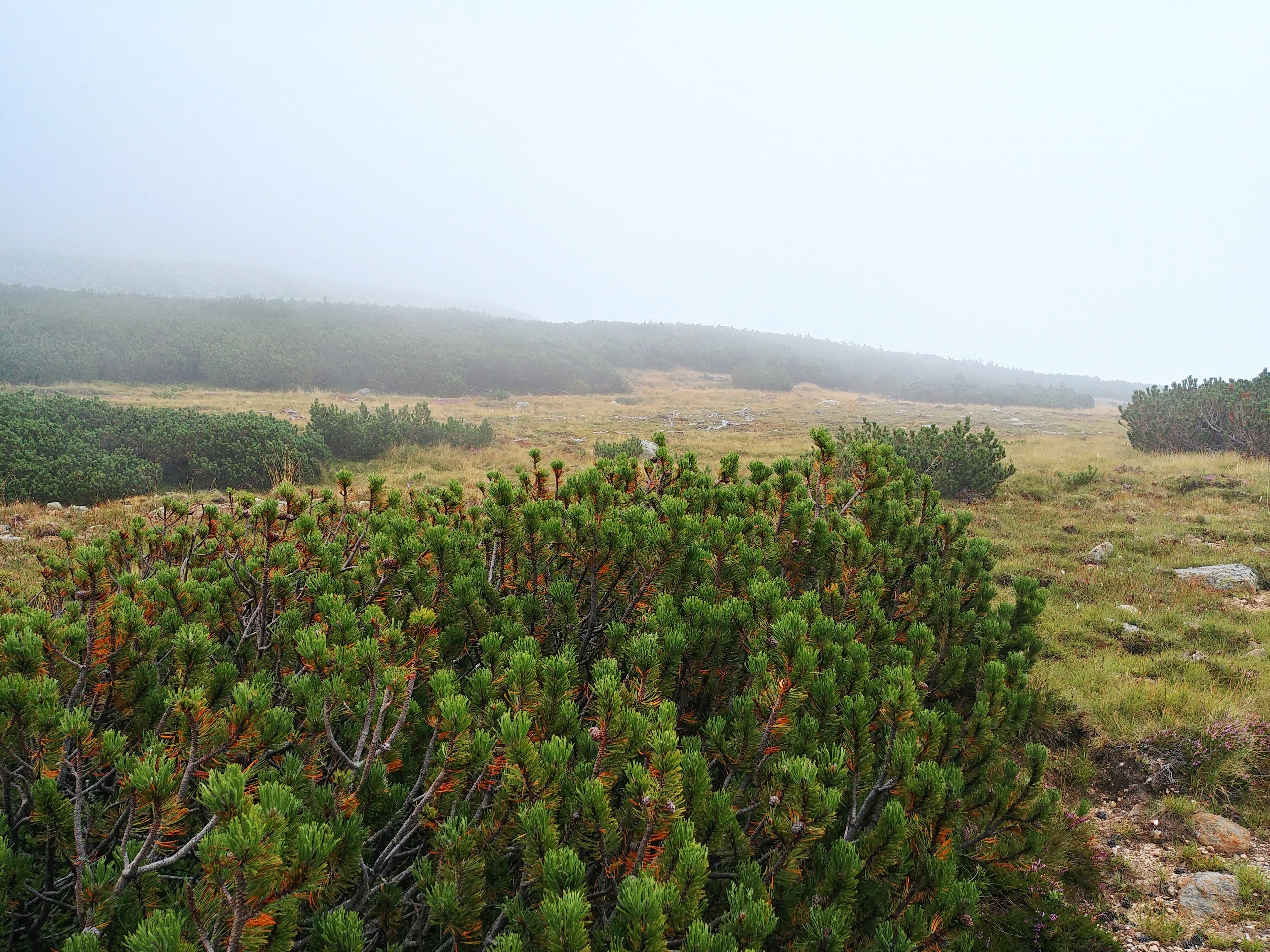
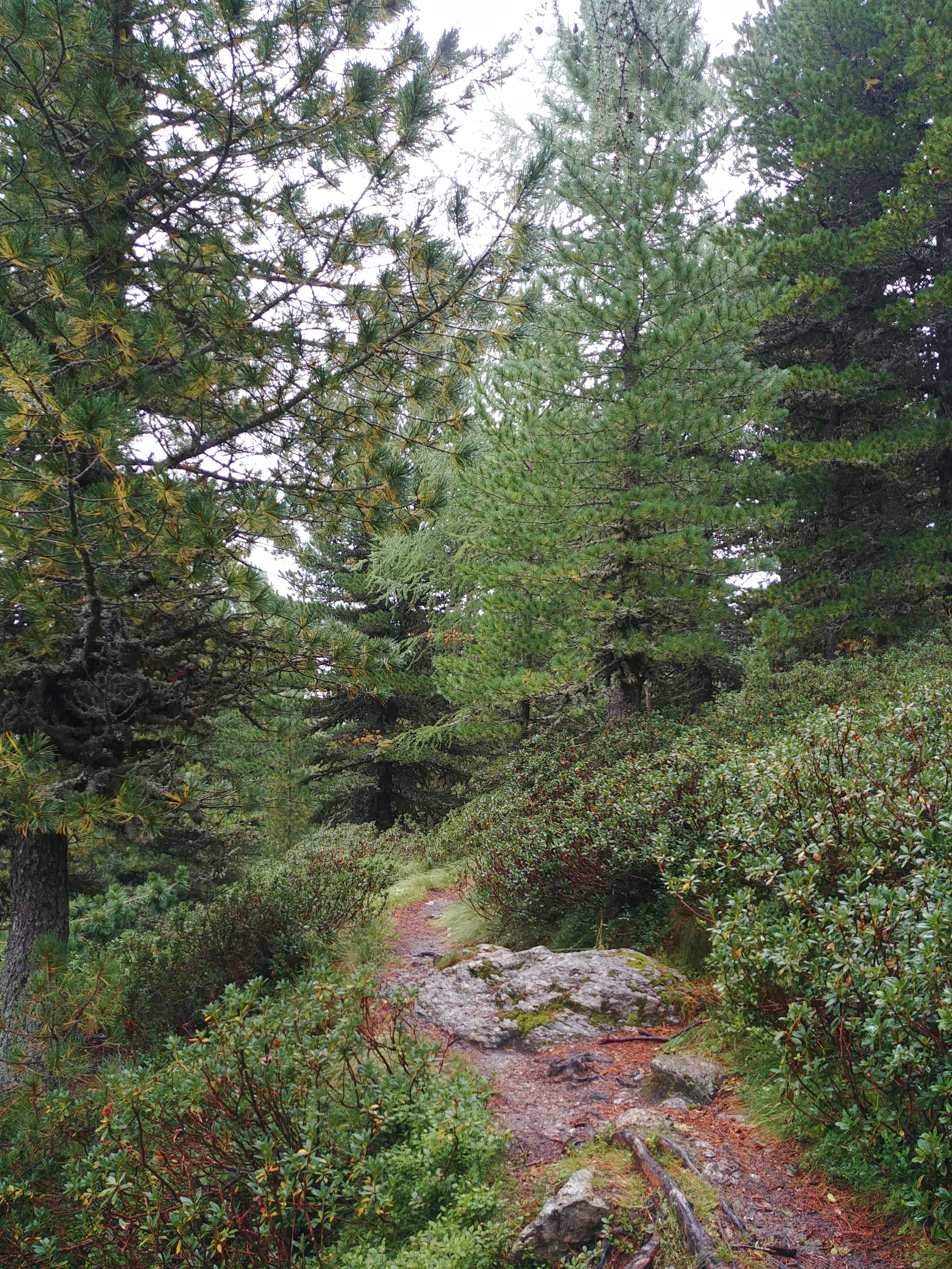
It was such a pity that we had next to no view because the path was so incredibly beautiful over the smooth hilltops of the Nockberge and between blueberry bushes, larches and pines.
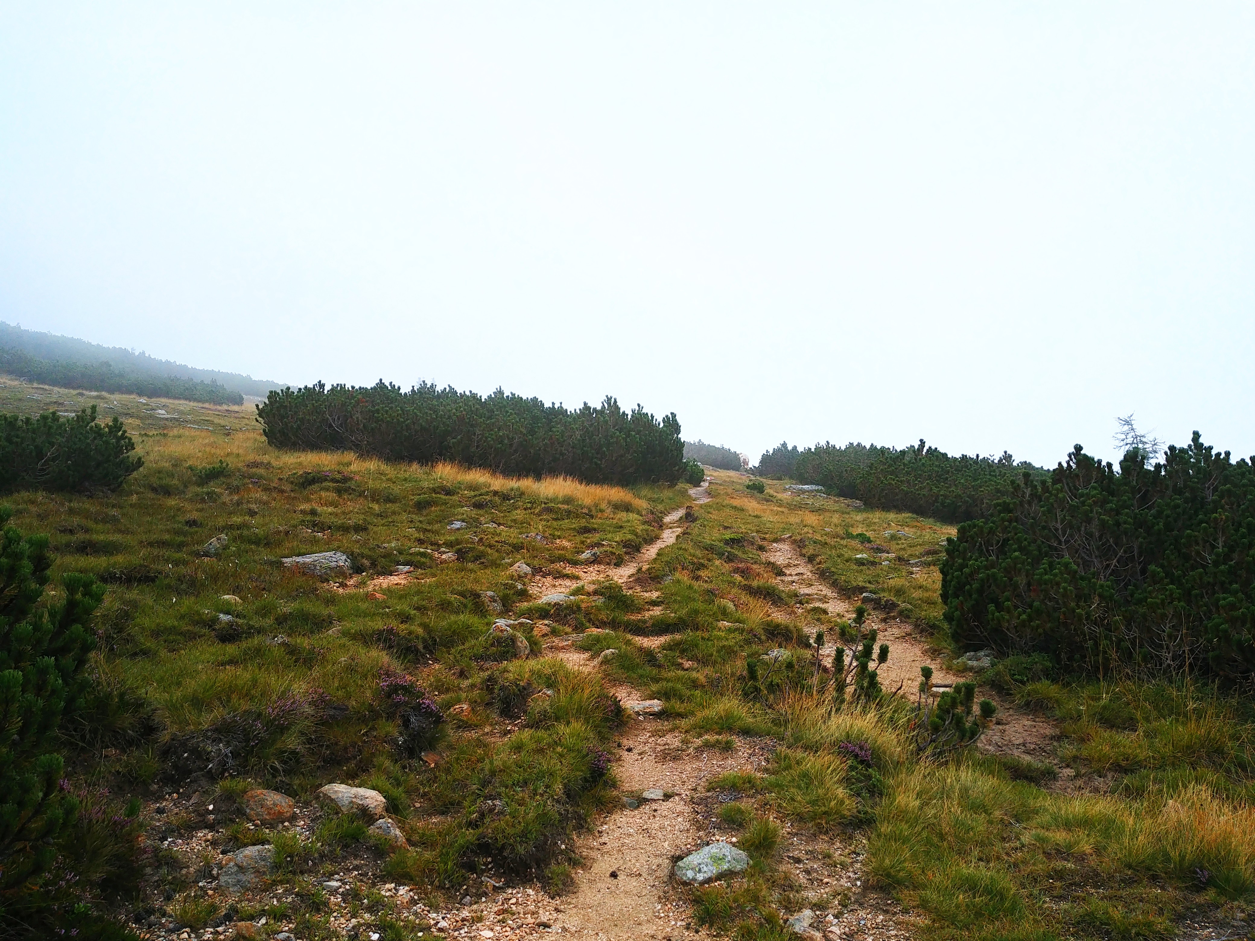
Later on, still along the ridge, the fog began to lighten a bit and we had a better view at our surrounding:
But then, while hiking alongside the mountain to get to the other side it got really bad. We sometimes couldn’t see more than 5m and it was a great job of the trail markers that we could still find our way through. Of course, our phone navigation helped but the markings were such a life saver!
And then there was thunder! At first farer away and more a grumble. We began to hike even quicker than before. Meanwhile the rain has started again. The thunder overhead, the fog all around us.
We knew that we were only a few kilometres from the Winkleralm and sped up. A few times we even couldn’t see each other due to the fog. And still the thunder above us.
Then we met a guy heading in our direction! He asked whether we had seen a woman carrying a child who came along this way. We didn’t. He said he was looking after his cattle when he saw her and thought that she couldn’t get very far. Then he told us that there’s no inn at the Winkleralm, just some old huts. But we could take cover there if we wanted.
We still had at least 2 hours to get to our destination. At first we decided to press on. But when we saw the huts a loud thunder crashed. So we climbed the fence that said PRIVATE and waited under the roof. From there we saw a few minutes later a group of several people including kids coming along and also heading for Turracher Höhe. One of them might have been the mother the guy mentioned.
When the rain stopped we continued. Still, the thunder was there but it slowly died away.
The rest of the path was more relaxed to hike. Again it was so pretty that I regretted not to have a better weather.
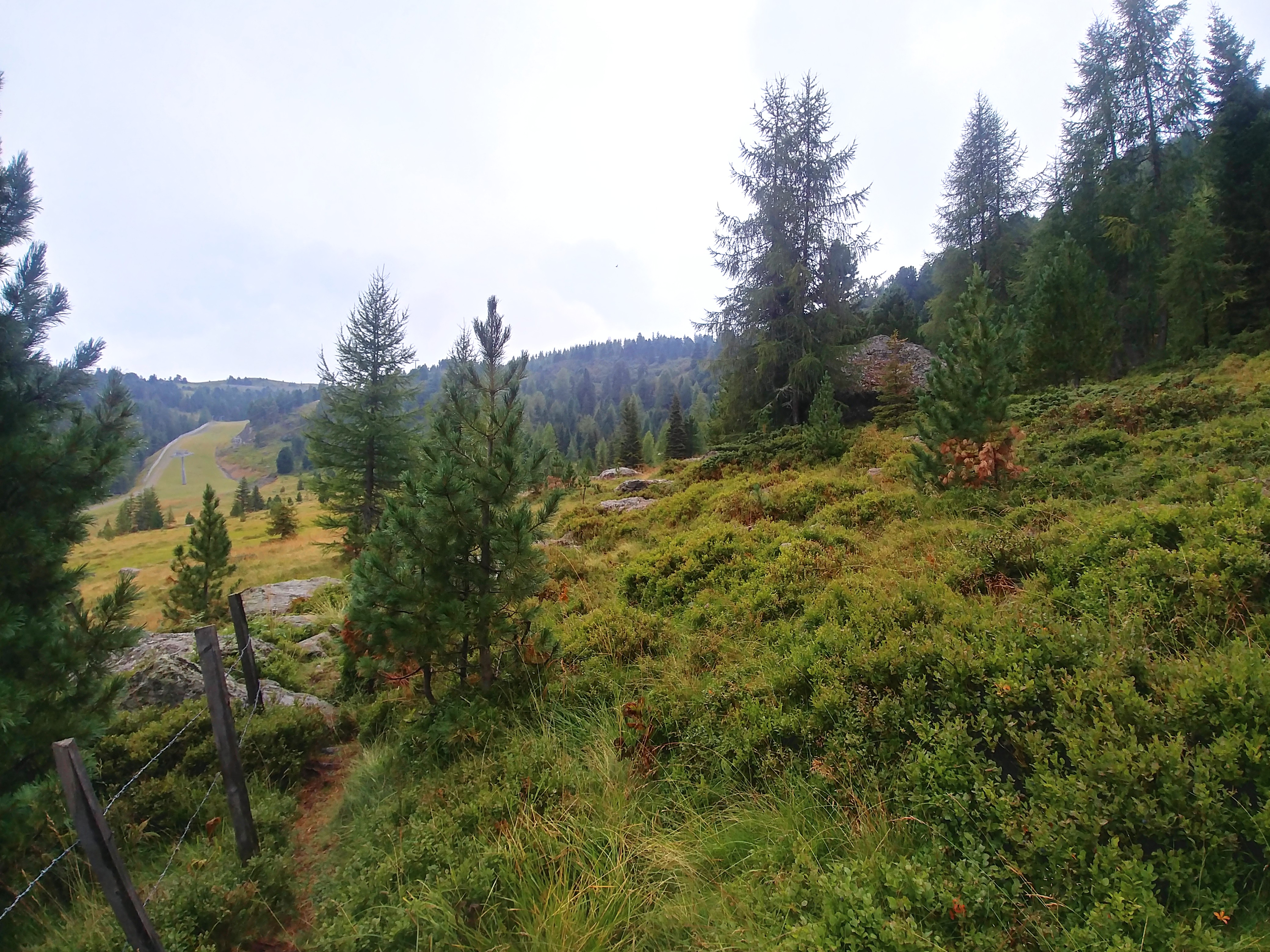
And then we emerged from the dense forest and suddenly were beneath a ski lift corridor. And the sun came out. Are you kidding?!
The last few kilometres were a little up again but after crossing the ski lift corridor easy to hike and rather enjoyable.
The Turracher Höhe is a main touristic spot and if it wasn’t for the big street straight through it it would have been really nice with the pretty lake. But oh so touristic.
For the rest of the day we enjoyed the outdoor pool and saunas of our accommodation, ate pizza and watched a downpour of rain for half an hour when we were safe and sound under a solid roof. 😉
Some figures:
- 24km
- 1300m up
- 1000m down
- Highest point: 2.336m (Königstuhl)
- Rain: yeah, there was some. And thunder. 😡
- Fog: the whole day. The.whole.day!!!
- Blueberries: too many and too little time 😒